More Mayan Ruins Discovered From Space Than Earth
Searching the dense jungle vegetation for Mayan ruins has made finding vestiges of the vast ancient civilization difficult. However, a new type of archeology, using satellite imaging to innovate the field, has increased the pace of pyramid detection.
Thanks to satellites, astronomical archeologists have discovered more Mayan ruins sites in the last ten years than Earth archeologists did in the previous 150 years.
Space Archeology

Space archeology uses thermal imaging, infrared sensors, specialized lenses, and LiDAR, a pulsed laser that can penetrate the jungle growth to create a map of the underlying architecture of Mayan ruins.
LiDAR will bounce off of stone structures but not the vegetation above it, making it much easier to “see” the human-built structures beneath. This technique allows researchers to map sites that are very remote, barely explored, and dangerous to enter on foot.
NASA’s Earth Observatory

NASA’s Earth Observatory program has been capturing images used to map Mayan ruins since 2002, but new developments in the fields of imaging and LiDAR have sharply increased the pace of discovery in recent years.
Researchers at Texas Tech University and the University of Texas, led by Brett Huok and Amy Thompson, have covered new ground in the search for Mayan ruins, revealing massive new areas of habitation and uncovering the mechanisms of water distribution, social organization, and human movement in the region.
These discoveries have already led to a disruption in the modern understanding of ancient Mayan culture.
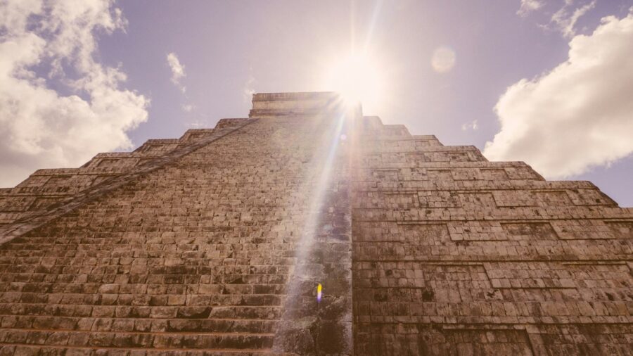
Mayan Ruins
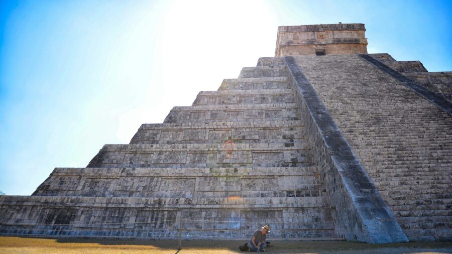
Awaiting peer review, a new previously unexplored area of Belize has undergone a LiDAR survey, with scientists discovering a staggering wealth of Mayan ruins in just a few days.
28 monumental sites have been revealed by the artificially colored LiDAR imaging, and new excavations could begin as early as this summer.
Space archeology has vastly improved the pace of study on Mayan ruins, leading to several breakthroughs in putting together the historic picture of ancient Mayan civilization.
Amateur Archeologists Are Helping

Satellites have a unique ability to give researchers an aerial view of terrain, capturing images with a variety of lenses and sensors that can help to build 3D models of structures obscured by dense vegetation.
Data from satellites has been so abundant that amateur archeologists are helping researchers sift through aerial images of Earth from sources like Google Earth.
These citizen scientists can help to analyze the huge amounts of data being generated by satellite exploration and find Mayan ruins hidden from view.
New Technology

While using satellites to search for Mayan ruins is a relatively new method, using aerial photography for archaeological discovery isn’t a new idea.
About a hundred years ago, archeologists photographed Stonehenge from above using a camera attached to a hot air balloon, creating the first-ever aerial archeology study.
Since then, the use of multiple sensors and cameras has allowed archeologists to take this concept even further, now using satellites, drones, and planes to collect aerial images of Earth.
One Major Flaw

The use of satellites to survey archeological sites has one major flaw, and that’s cost. Satellites equipped with all the sensors and equipment necessary to 3D map Mayan ruins are also expensive to run.
While smaller satellites are often chosen by researchers for their lower relative cost as well as proximity to Earth, they are still quite expensive to use.
Some scientists have proposed using synthetic aperture radar (SAR) to allow for more comprehensive coverage at a lower cost to researchers.


Login with Google