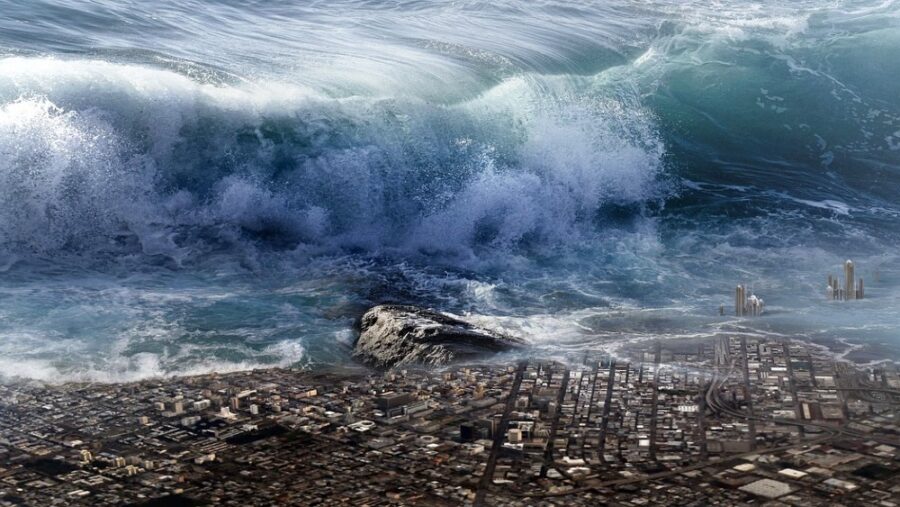
Megatsunami Causes Shockwave Across The Planet

Megatsunamis are significant events whenever they occur, but they can sometimes have worldwide implications. That’s what happened when a megatsunami occurred in Greenland in September 2023, triggering seismic waves worldwide. The event was caused by a landslide in the Dickson Fjord.
Seismic Activity That’s Off The Charts

The Greenland megatsunami in the Dickson Fjord ended up being big enough to create two distinct seismic signals. One signal was a high-energy signal that occurred as a result of the landslide, while the other signal was a long-lasting very long-period (VLP) signal that came from a seiche (a standing wave that oscillates in a body of water) in the fjord. The VLP signal was a week-long oscillating wave, as reported in The Seismic Record.
The research was compiled by Angela Carrillo-Ponce of GFZ German Research Centre for Geoscience and her colleagues. The team analyzed the VLP signal that arose from the megatsunami and detected it over 3100 miles away from the fjord.
The Importance Of Seismic Research
Carillo-Ponce explained that analyzing the seismic signal could give the team some answers about the processes that caused the oscillating wave, saying, “If we had not studied this event seismically, then we would not have known about the seiche produced in the fjord system.”
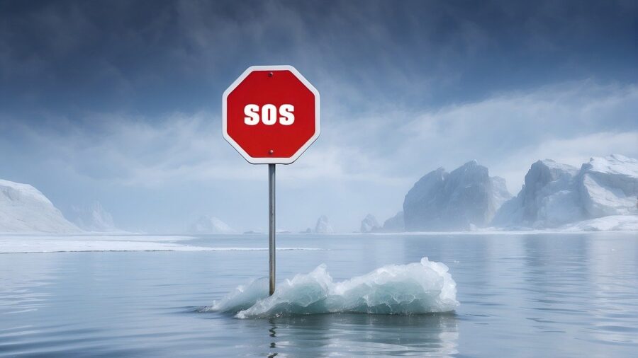
Of course, the seismic findings of the megatsunami will also help the team better understand how climate change is affecting Greenland. The landslide that led to these events can be caused by global warming and loss of permafrost, which turn the glacial areas into rocky slopes and makes the glaciers unstable enough to cause a major landslide event.
Potential Dangers

These megatsunamis may have worldwide seismic effects, but they can also be incredibly dangerous to those who are near them. A recent example is the 2017 Karrat Fjord tsunami that was caused by an avalanche. The resulting event flooded the village of Nuugaatsiaq and killed four people.
Satellite Imagery Facilitated The Research
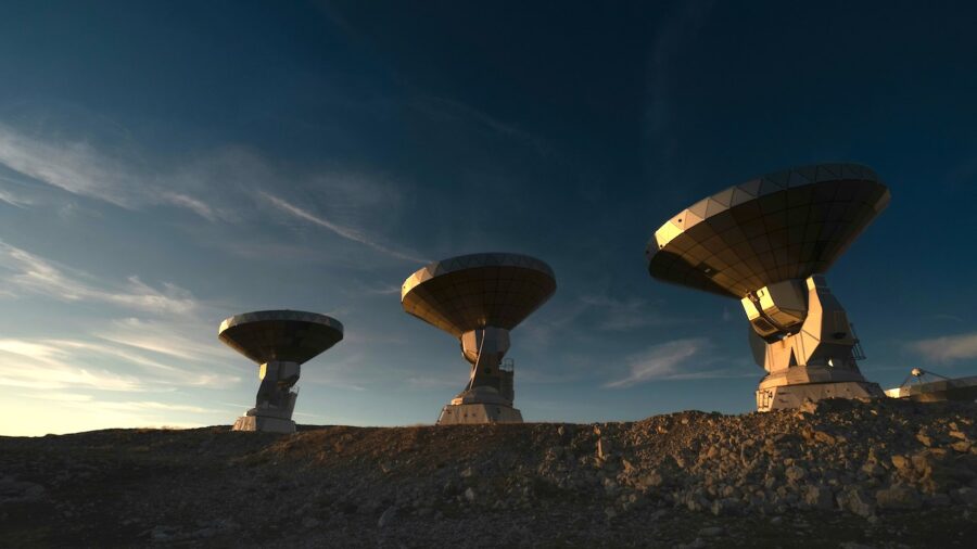
Meanwhile, when megatsunamis reach heights of over 330 feet off the coast of Greenland, they can end up reaching Europe. Carrillo-Ponce and the team were able to study these seismic signals and use satellite imagery to understand where and how the 2023 event happened.
The findings revealed that there was a missing rock patch along the cliffs of Dickson Fjord, allowing them to determine a landslide occurred and picked up glacier ice on the way down to the water, causing a megatsunami over 650 feet high at the landslide’s entry point and 200 feet along 6 miles of the fjord.
Exploring The Link To Climate Change
For now, the team will need to continue to analyze to learn more about the megatsunami, as Carrillo-Ponce explained, “While we were able to obtain information on the direction and magnitude of the force exerted by the landslide, we do not have data to investigate the original cause of the landslide.”
In the meantime, the researchers explained that the quality data they get from stations in Germany, Alaska, North America, and more could allow them to study other past events and learn about their possible link to climate change.
The VLP signals detected from this event are usually caused by glacial collapse, but the fact that this massive landslide led to such a significant tsunami is important information that will better help us understand the different sources and causes for these kinds of megatsunami events.
Source: The Seismic Record


