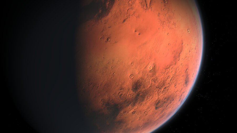
Mars Now Has A Street View That You Can See
You can now see a ground level, 3-D, street view of Mars thanks to the latest innovation from NASA. It is an awesome new look for the planet
This article is more than 2 years old

Google Maps, eat your heart out. All that lousy app can do is just show us every single street in the world both from an aerial view, and often a look at ground level as well. But that’s just our big blue orb. What about other planets? I didn’t think so. That is where NASA’s Perseverance Rover has Google lapped because according to the official Twitter account for the rover, there is now a “street view’ for Mars. With the latest 3-D tool, people can go explore the red planet much the same way we can on Earth.
The new interactive tool on the NASA website allows users to follow the trail of the Perseverance rover as it roams across the Martian landscape taking samples and taking in the surroundings. By clicking on the map which shows the rover’s path, one can get a 3-D landscape, full-circle view from what the Perseverance has photographed along the way. It’s an amazing feature, allowing ground-level access to a planet that only existed in science fiction books and stories before. Now we can get a look at the actual goods.
The entire experience is on the NASA website with one feature called “Explore with Perseverance”. This will update on the website after the rover has gone off and explored new places throughout the planet. The images are taken directly from what the rover sees and compiled together for a 360-degree view. And at the correct angles, it gives users what scientists say is the best approximation currently available of what it is like for people to explore Mars from this vantage point. Lead engineer Parker Abercrombie, who is helping to head up the project, made a solid point that oftentimes images given to folks from the rover lack the necessary perspective to get a good sense of what it is like being on the ground level. This new feature cures that.
The “Explore with Perseverance” feature allows you to click on a number of different locations like Van Zyl Overlook, First Abrasion Site, First Drill Sit, Drill Sites, and more. Each offers a unique way to explore the planet and each gives the date that Perseverance was at that location. After waiting for the images to render, the landscapes are often vast and the interface allows users to zoom in and out on certain details. Plus there is the “Where is Perseverance” feature which follows its path across the section of the planet it has set out to explore.
The Mars Perseverance Rover landed on the planet back in February as a part of the Ingenuity helicopter initiative. It has been exploring Mars looking for signs of life on the planet. At a cost that is pushing forwards $3 billion dollars, it is collecting rocks and gas samples to bring back to Earth for study. But we shouldn’t hold our breath on that. The earliest the Perseverance can return to Earth is all the way off in 2031. So until then, the best chance we have to see the planet is through these new initiatives from NASA.


