Hurricane Milton Footage From International Space Station Looks Like The Apocalypse Is Coming
Two weeks after Hurricane Helene devastated the southeast, Hurricane Milton is coming. This latest storm strengthened to a Category 5 over the weekend, weakened to a Category 4 as of Tuesday morning, and is still on track to be one of the most powerful storms in history. NASA released footage of the storm system as seen from the International Space Station, which makes clear how large this storm is.
Hurricane Milton is described as a “pin-hole hurricane,” with an eye that has shrunk to four miles across, which is why this storm is so much more powerful than Helene.
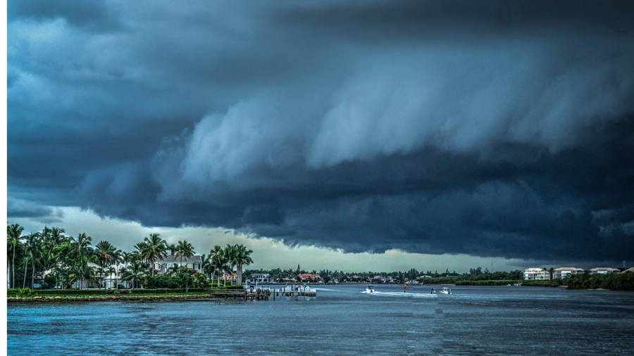
To put this footage in perspective, the International Space Station is in orbit 250 miles above the Earth. At that distance, Hurricane Milton is still massive, covering almost the entire Gulf of Mexico as it moves towards land. With expected wind speeds approaching 155 MPH (downgraded from the original projection of 185 MPH), this will be one of the most powerful storms ever recorded, comparable to the 1900 Great Galveston Hurricane that wiped the city off the map. It’s one thing to hear about wind speed or to hear that over a million Floridians are evacuating, but it’s another to see the storm in action.
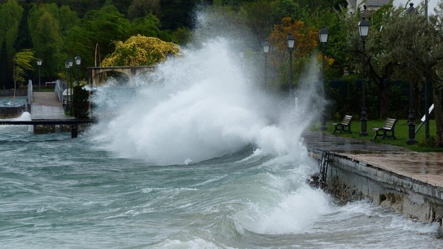
As dangerous as Hurricane Milton’s winds are, the real threat to Florida at the moment is the storm surge, which is projected to be anywhere from eight to fourteen feet.
When you see the footage, you probably noticed the distinct eye of the hurricane. It sounds counter-intuitive since the eye of the hurricane is the axis by which the whole storm is powered, but the smaller it is, the more dangerous the storm. Hurricane Milton is described as a “pin-hole hurricane,” with an eye that has shrunk to four miles across, which is why this storm is so much more powerful than Helene.
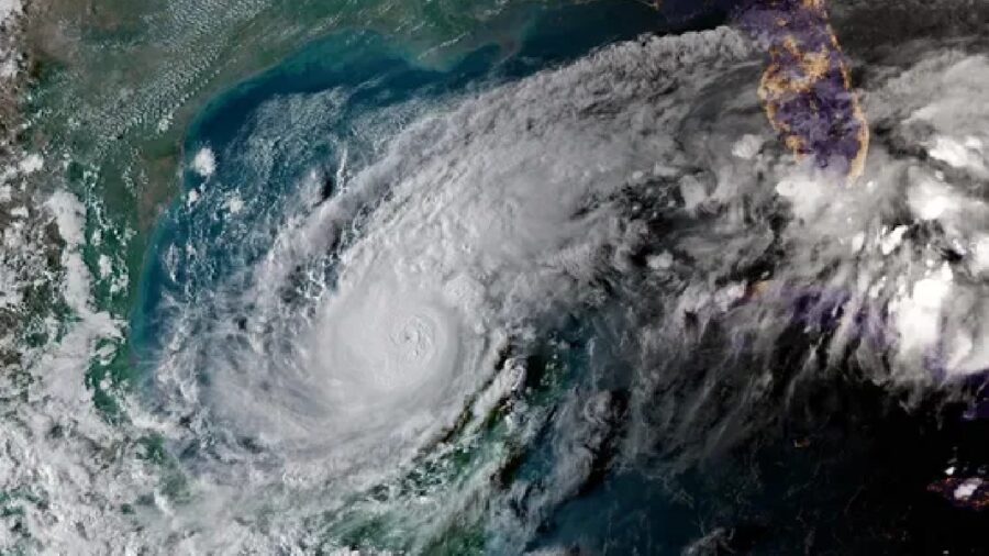
Watching Hurricane Milton from the International Space Station gets across the sheer scale of the devastation wrought by hurricanes.
As dangerous as Hurricane Milton’s winds are, the real threat to Florida at the moment is the storm surge, which is projected to be anywhere from eight to fourteen feet. The hurricane’s current path has it hitting Tampa Bay from the north, and given the storm’s rotation, that means water will be shoved into the Bay, dramatically increasing the potential for flooding. Eight to fourteen feet might not sound like much, but storm surge is measured by how far above sea level it pushes the ocean, and considering how low-lying most of coastal Florida is, even eight feet will go miles inland.
A ten-foot storm surge is enough to cause catastrophic flooding, and even if a building is still standing after Hurricane Milton passes over, the damage may be enough to require demolition. One foot of flooding is enough to cause devastating bacterial and fungus damage, never mind ten. To put this in perspective, the storm surge from Milton could cause flooding to reach I-75 and, in the worst-case scenario, make it nearly a hundred miles inland.
Watching Hurricane Milton from the International Space Station gets across the sheer scale of the devastation wrought by hurricanes. One of these storms can be a life-changing event for millions of people; two within two weeks is enough to break down even the most well-prepared. The latest storm may further weaken before it makes landfall, but even as a Category 3, given the damage from Helene, even that’s enough to severely damage the region for years.
Millions of Floridians have evacuated from the Gulf Coast, Disney and Universal have closed their theme parks, and now the state can do nothing but sit, wait, and hope for the best.


