Famous US Mountain Shrinking For A Surprising Reason
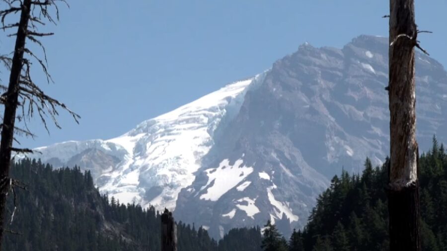
In a literally groundbreaking discovery, scientists say that Mount Rainier in Washington state is shrinking. The summit point of the volcano has been found to have shifted, reducing the height of the mountain by about 10 feet, apparently caused by melting ice. A recent survey using GPS positioning equipment showed a significant difference in the height of Columbia Crest, Mount Reinier’s highest peak, as compared to historical measurements.
Mount Rainier Is Shrinking
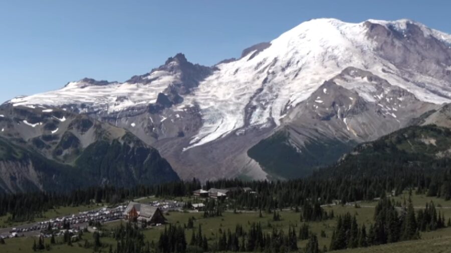
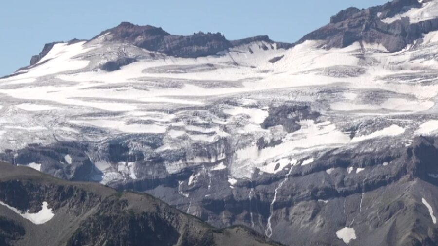
Measurements taken since 1998 show that Mount Rainier has shrunk a total of 21.8 feet over the last 26 years. The height shrinkage is due to ice melting at the peak, which has been melting down to bare rock seasonally on both sides of the mouth of the volcano. This shift is a revelation that signifies that the permanent ice cap that has historically been the summit of Mount Rainier is no longer permanent.
The Ice Caps Weren’t Permanent
Recent surveys have found that what was once a permanent ice dome on the East side of the volcanic rim of Mount Rainier while the West side of the rim would usually melt down to bare rock. This new development means that the ice dome that was considered permanent for geologic purposes is now measured as a part of the seasonal ice that forms each winter. While there’s still a robust snow cap on top of Mount Rainier in colder months, the cap wears thin, with rock showing through during the summers.
A Seasonal Feature
The way that snow-capped mountains like Mount Rainier are measured is by taking a reading in late summer when the ice dome is at its thinnest. For geologic purposes, the measurement doesn’t include snowfall and ice pack that are a part of seasonal changes but does include ice that is permanent to the peak of the mountain. The shrinkage of Mount Rainier is due to a part of the permanent ice dome becoming a seasonal feature rather than a stable element of the geology.
First Measured 100 Years Ago
Mount Rainier was first measured in 1924 by triangulation and this measurement was confirmed by a follow-up survey in 1956, when the volcano’s height was confirmed by a second survey and made official. In the intervening 100 years since the summit was first measured, technology has developed significantly, allowing scientists to use GPS to more accurately measure topography. A new survey is being conducted by Eric Gilbertson, a mechanical engineering professor at Seattle University.
Gilbertson, who has tackled the new surveying study as a personal passion project, set a goal in 2022 to measure the accurate heights of Cascades peaks, including Mount Rainier. An avid mountaineer, Gilbertson summited Mount Rainier in August with borrowed survey-grade GPS devices from his university’s civil engineering department. His data shows that the mountain is indeed shrinking, confirming his observation from photos of climbers at the summit appearing to be standing atop less and less ice.
A New Tallest Point
The new measurements have not yet been confirmed by the US Geological Survey (USGS), and they still list Mount Rainier as being officially 14,410 feet tall as opposed to Gilbertson’s 14,399.6. Despite the accuracy of the equipment, the USGS will likely want to confirm the new measurements before updating the height of iconic Mount Rainier. The new height of the mountain, if confirmed, also shows that the West peak has surpassed the East as the tallest point on Mount Rainier.
Source: CountryHighPoints


