World’s Most Destructive Earthquake Actually Predictable?
It is a terrifying prospect, but one humanity is better off knowing ahead of time: the most devastating earthquakes in the Cascadian range will probably wreak havoc offshore Washington State and Vancouver Island. This is according to new data revealed in a comprehensive study that offers crucial details about the fault’s structure.
The Pacific Northwest Is Ground Zero
Make no mistake—the colossal fault able to unleash magnitude nine earthquakes, the Cascadia megathrust continues to pose a significant threat to the Pacific Northwest. However, this latest batch of research nonetheless implies that the incredibly destructive quakes along the fault may be more predictable than previously thought.
The Source Of The World’s Most Powerful Earthquakes
The Cascadia megathrust is mega-huge. It spans nearly 1000 kilometers—stretching from British Columbia, Canada, to Northern California. The thrust also demarcates the border beyond which the Juan de Fuca plate subducts underneath the more widespread North American plate.
This geological area is no joke. It is notorious for producing some of the earth’s most powerful earthquakes, including the horrible 2004 Sumatra quake.
A Disturbingly Quiet Fault
To make matters more difficult, the Cascadia fault has long been shrouded in mystery. Other subduction zones—those in Japan and New Zealand, for example—are less quiet regarding seismic activity; their natures are thereby more easily studied and understood.
Cascadia, however, exhibits a telltale, unusual silence—a quietude that has long hindered experts’ abilities to study the fault and, perhaps more importantly, anticipate its behavior and earthquake likelihood.
A Groundbreaking Study

But in 2021, Columbia University marine geophysicist Suzanne Carbotte began a new chapter, conducting a groundbreaking seismic survey aboard the research vessel Marcus G. Langseth. In an exciting twist straight out of sci-fi, Carbotte’s team employed air guns to send sound waves directly into the seafloor. These beamed waves then captured reflections from the underground faults and rock layers.
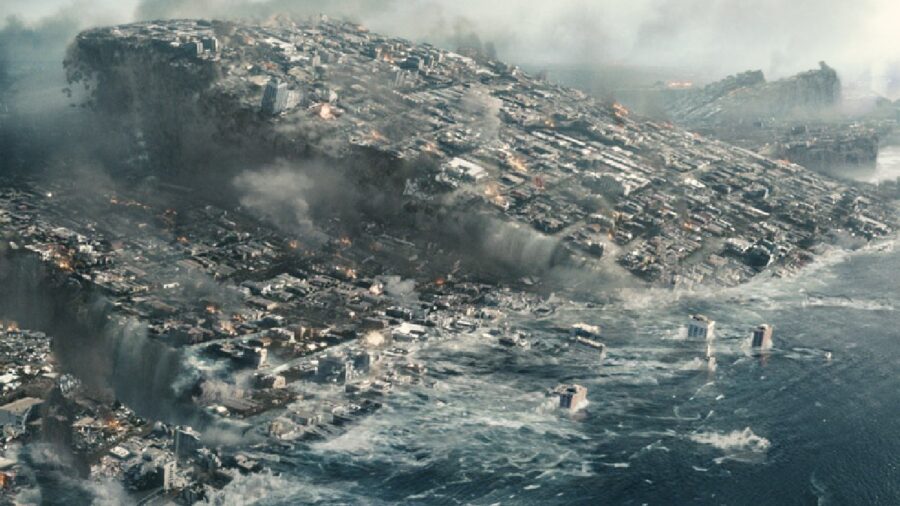
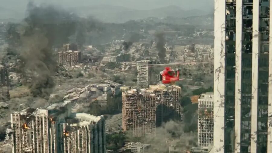
The Big One Will Eat Vancouver
Columbia’s survey was the most comprehensive study of its kind, spanning an enormous 900 kilometers. The findings garnered from this unprecedented and uniquely far-ranging research into earthquakes were published in the journal Science Advances. Carbotte’s work propounds that, rather than a single and continuous fault, the Cascadia megathrust is, in fact, broken into a minimum of four distinct sections.
The most difficult of these stretches are far from the south of Vancouver Island to Washington state. Not only is this segment located in a highly populated area, but its uncommon smoothness and low dip angle (between two and four degrees) also qualify it as particularly prone to gargantuan quakes.
No Earthquakes In The Area Since 1700, Which Is Not A Good Thing
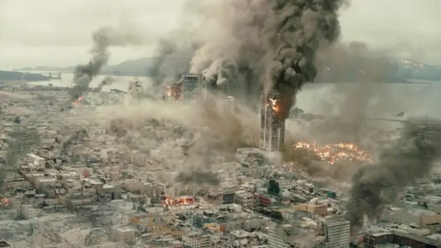
The Cascadia megathrust has a long, infamous history and a reputation for producing truly catastrophic earthquakes; 19 have surpassed the terrifying magnitude nine in the last 10,000 years. The most recent quake in the range, in 1700, led to pronounced land subsidence and let loose tsunamis that reached Japan.
The latest survey also discovered many minor faults near the coast that could generate tsunamis, like the major fault portions. In the event of a megathrust earthquake, one furthermore leading to slippage at these smaller faults, the resulting waves could crash into the shore in mere minutes. There would be little time for evacuation.
Thankfully, the newfound understanding of the Cascadia megathrust embodies a major step forward in earthquake science. By anticipating and predicting when the next major quake in the region will strike, we can better prepare for the inevitable.


